

Nat’l Tymes News Desk

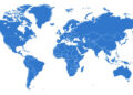
THE UNITED Nations General Assembly has backed a new world map that represents Africa and other continents more accurately according to their actual size.
The resolution, known as “Correct the Map,” was adopted on Friday, September 4, 2026, after being led by Togo on behalf of the African Group and supported by the African Union.
A total of 164 countries voted in favour, while the United States was the only country to vote against it. Six countries — Serbia, Estonia, Georgia, Lithuania, Moldova and Ukraine — abstained.
The move seeks to encourage governments, schools, international organisations and technology companies to use maps that give a more accurate picture of the size of the world’s continents.
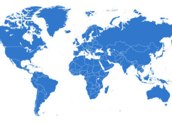
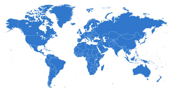
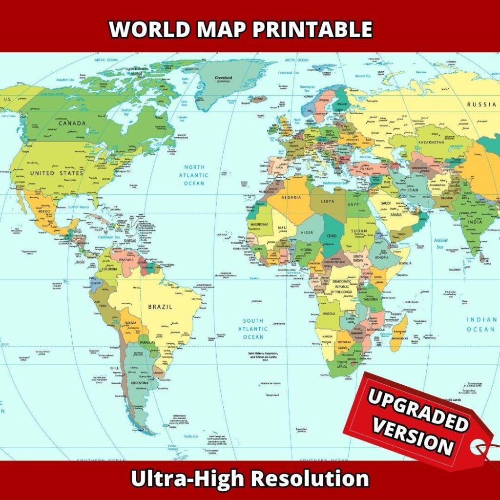
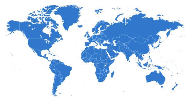
For centuries, the Mercator projection, developed by Flemish cartographer Gerardus Mercator in 1569, has been widely used. Although it was originally designed mainly for navigation, it distorts the size of land areas, making regions closer to the poles appear much larger than they are.
For example, Greenland can appear almost as large as Africa on a Mercator map, although Africa is about 14 times larger than Greenland.
The resolution promotes the Equal Earth projection, developed in 2018, as one map that gives a more accurate representation of the relative sizes of continents.
Togo’s Foreign Minister, Robert Dussey, described the initiative ahead of the vote by saying: “A fair world begins with a fair map.”
However, the UN resolution is not legally binding and does not completely ban the Mercator projection. Instead, it encourages the gradual adoption of more accurate projections for education, public information and other uses.
The initiative is being presented by Togo and the African Union as an effort to ensure that Africa’s geographical size is represented more accurately on maps used around the world.
Source: Nationaltymes.com